The Tantramar Marshes, near Sackville, New Brunswick
The land has been shaped into berms to keep it dry and workable. In between, swales gather the water and allow it to run off into the ditches, trenches, and, eventually, the tidal waterways forming the Tantramar River and its tributaries. It has been maintained like this for centuries, ever since the mid-1600s when the Acadian settlers built the first dikes to drain the land and permit them to cultivate the marsh hay.
For me, the swales, whether filled with water, snow, or ice, create leading lines to both divide the landscape and draw us into it.
Part of the Along the Marsh personal project.
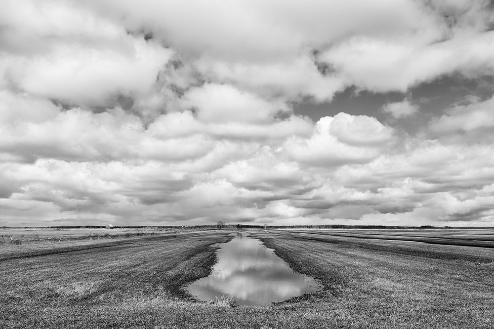 Tantramar Lines #1
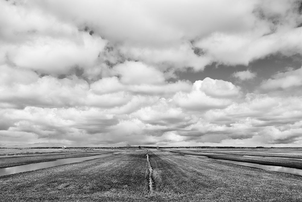 Tantramar Lines #2
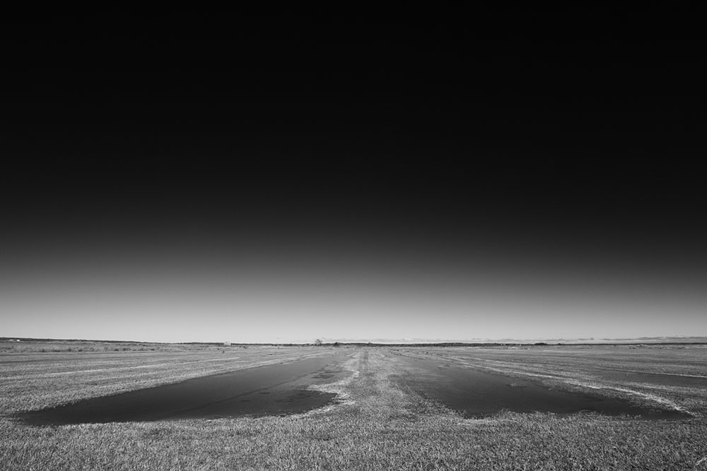 Tantramar Lines #3
 Tantramar Lines #4
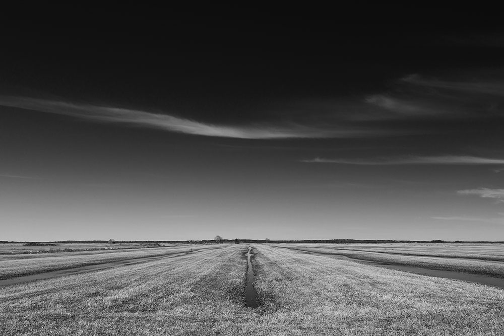 Tantramar Lines #5
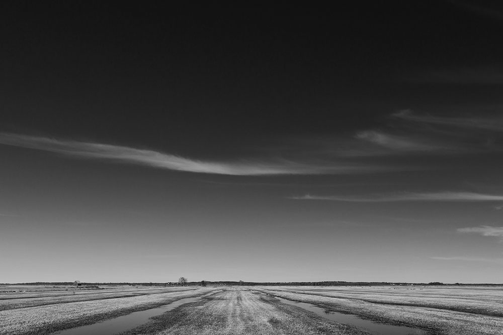 Tantramar Lines #6
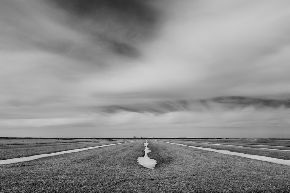 Tantramar Lines #7
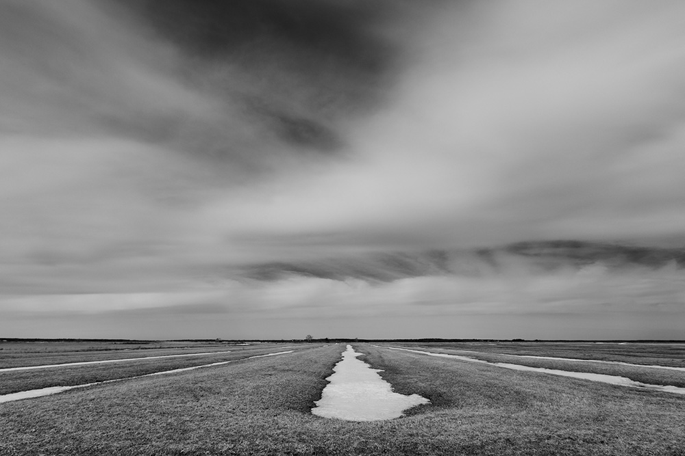 Tantramar Lines #8